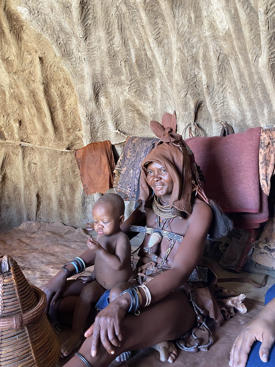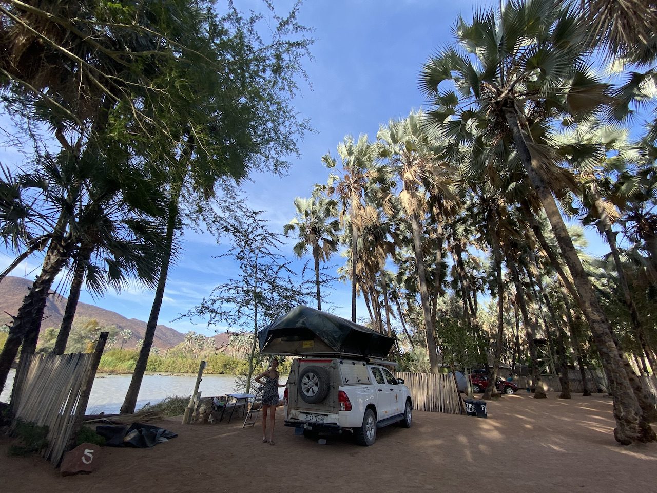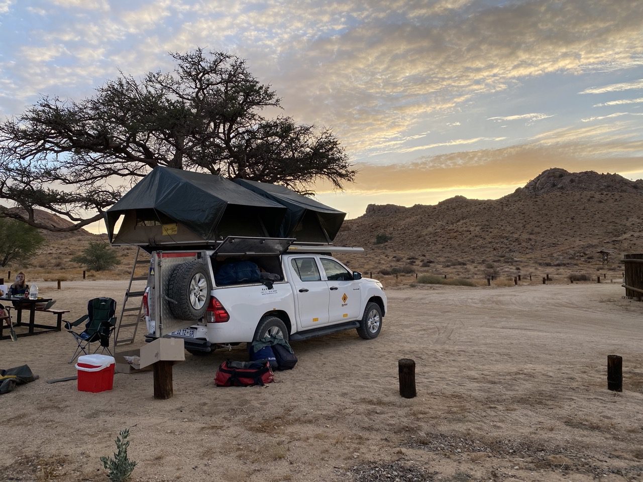
Namibia: 2021 – Epupa Falls to Etosha Pan – Olifantsrus
The Etosha pan ("Land of Dry Water") is a large endorheic salt pan, forming part of the Cuvelai-Etosha Basin in the north of Namibia. It is a hollow in the ground in which water may collect or in which a deposit of salt remains after water has evaporated. At 130 km's long and up to 50km's wide in places, it is comfortably the largest salt pan in Africa and is the park's most distinctive and dramatic feature, visible even from space. The large mammals in Etosha National Park include lion, leopard, elephant, rhino, giraffe, wildebeest, cheetah, hyena, mountain and plains zebra, springbok, kudu, gemsbok and eland. Among the smaller species you will find jackal, bat-eared fox, warthog, honey badger and ground squirrel. Olifantsrus is Etosha’s newest camp and the first accommodation option in the park to offer a camping only experience, allowing you to feel that little bit closer to the incredible African bush all around you. Situated in the wilder, more remote and previously less-utilised western section of the park, Olifantsrus is approximately 60kms from Galton Gate, 130kms from Okaukuejo and 50kms from Dolomite Camp. Rare and shy species such as black rhino and black-faced impala are well-established in this quieter part of the park.