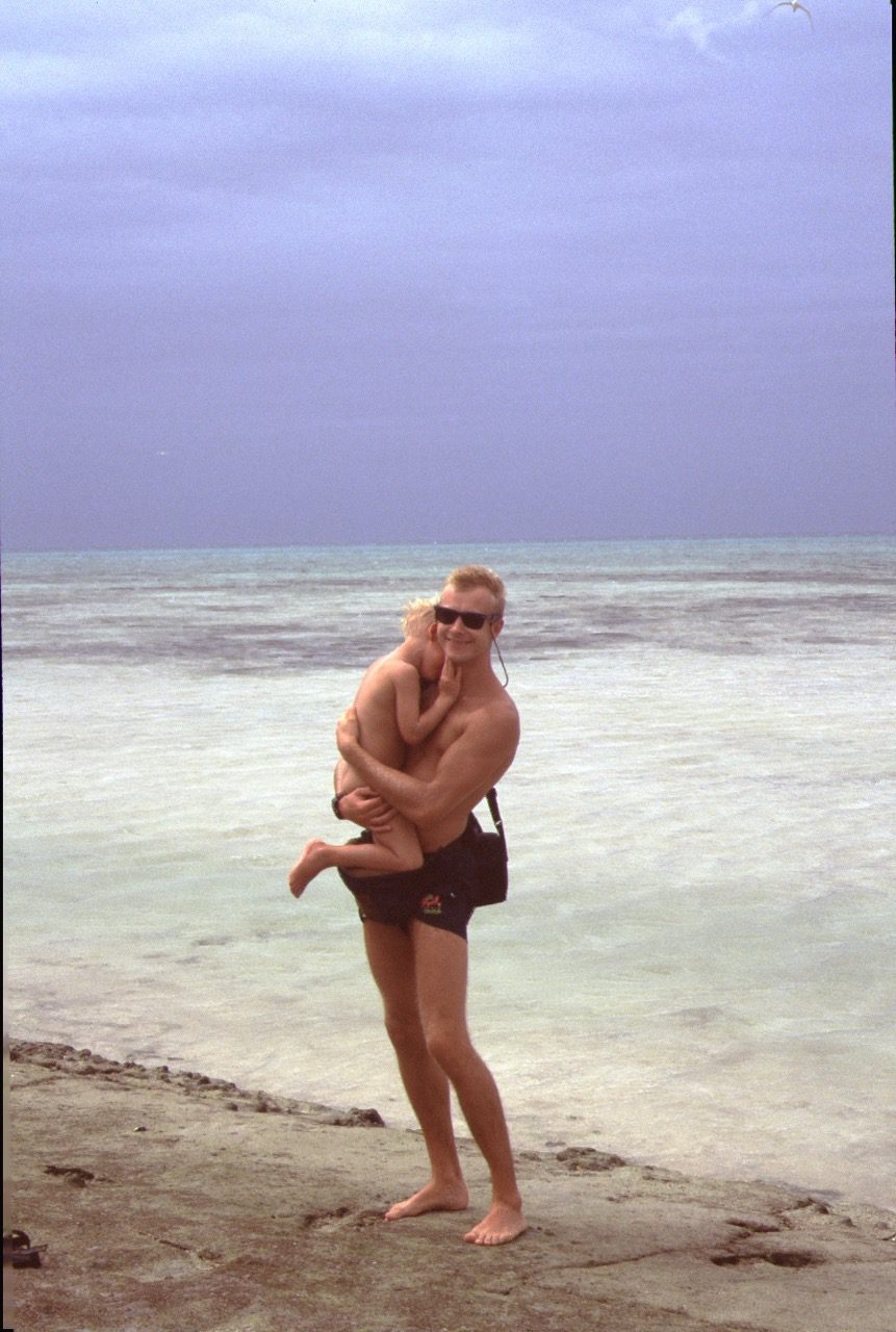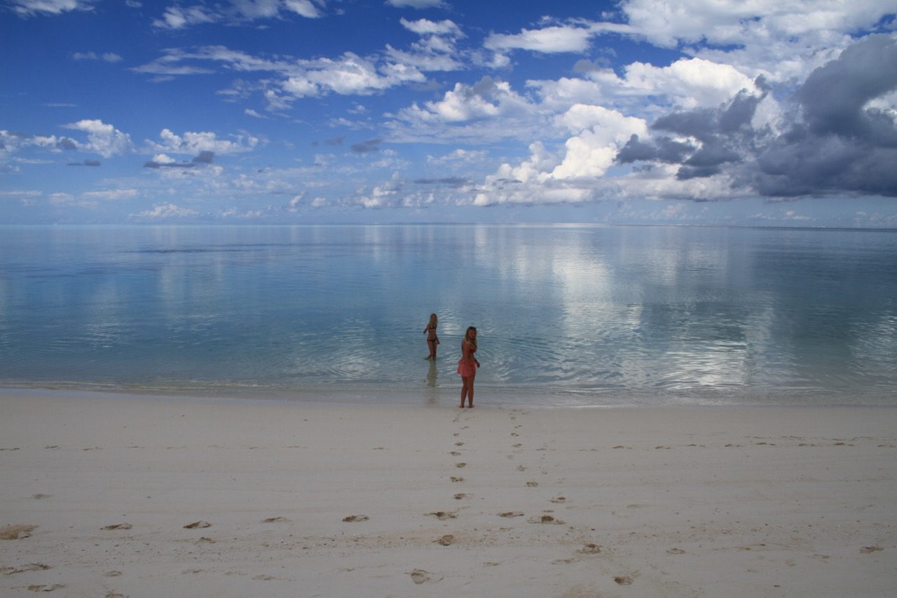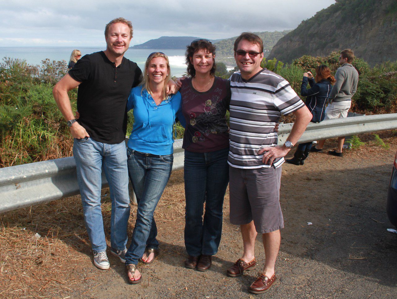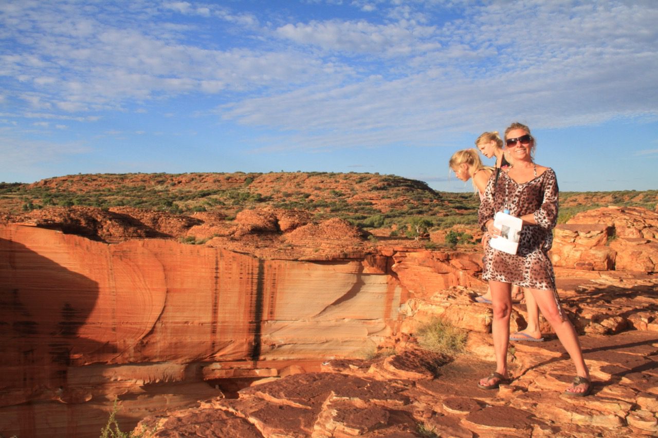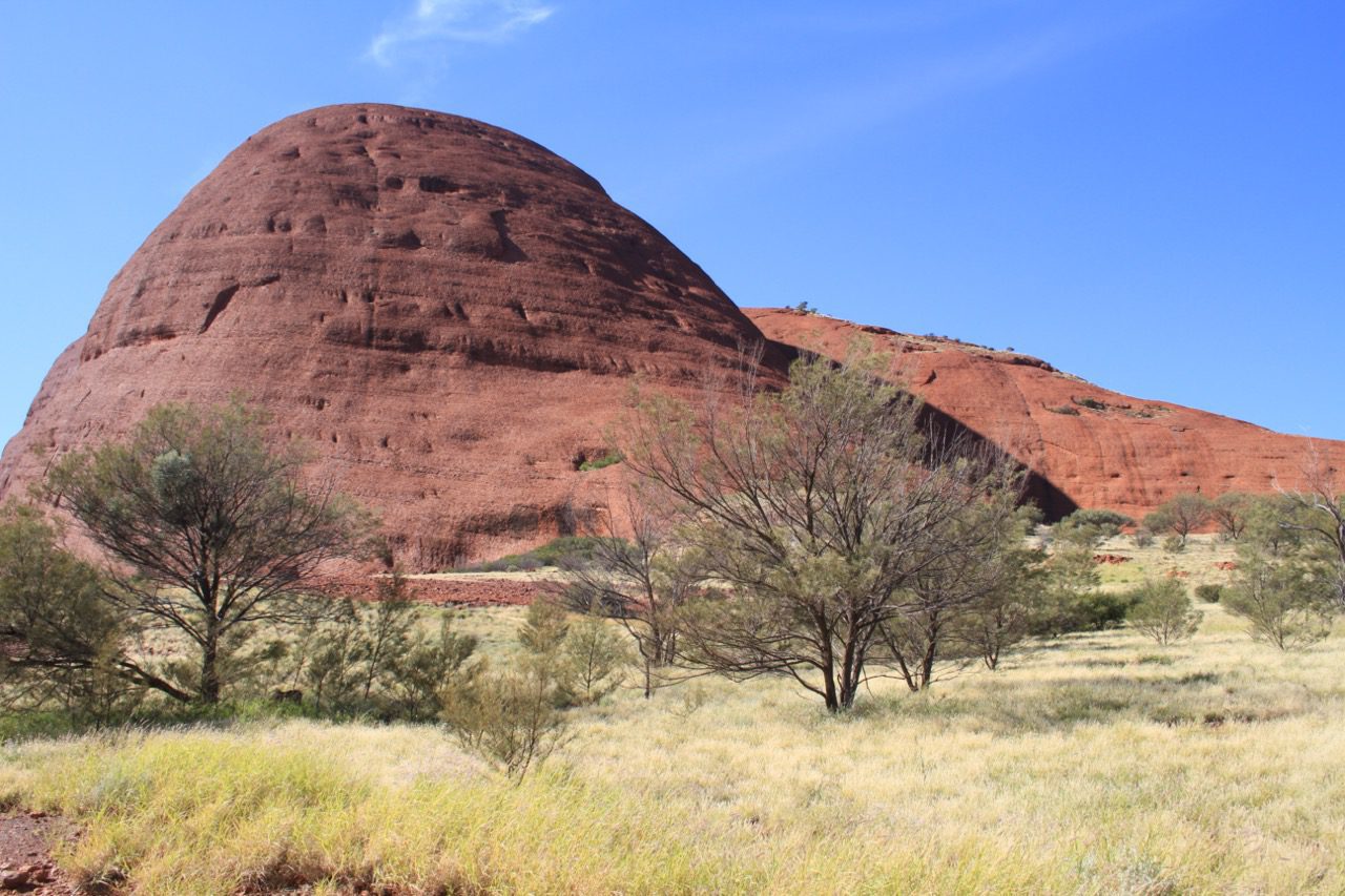
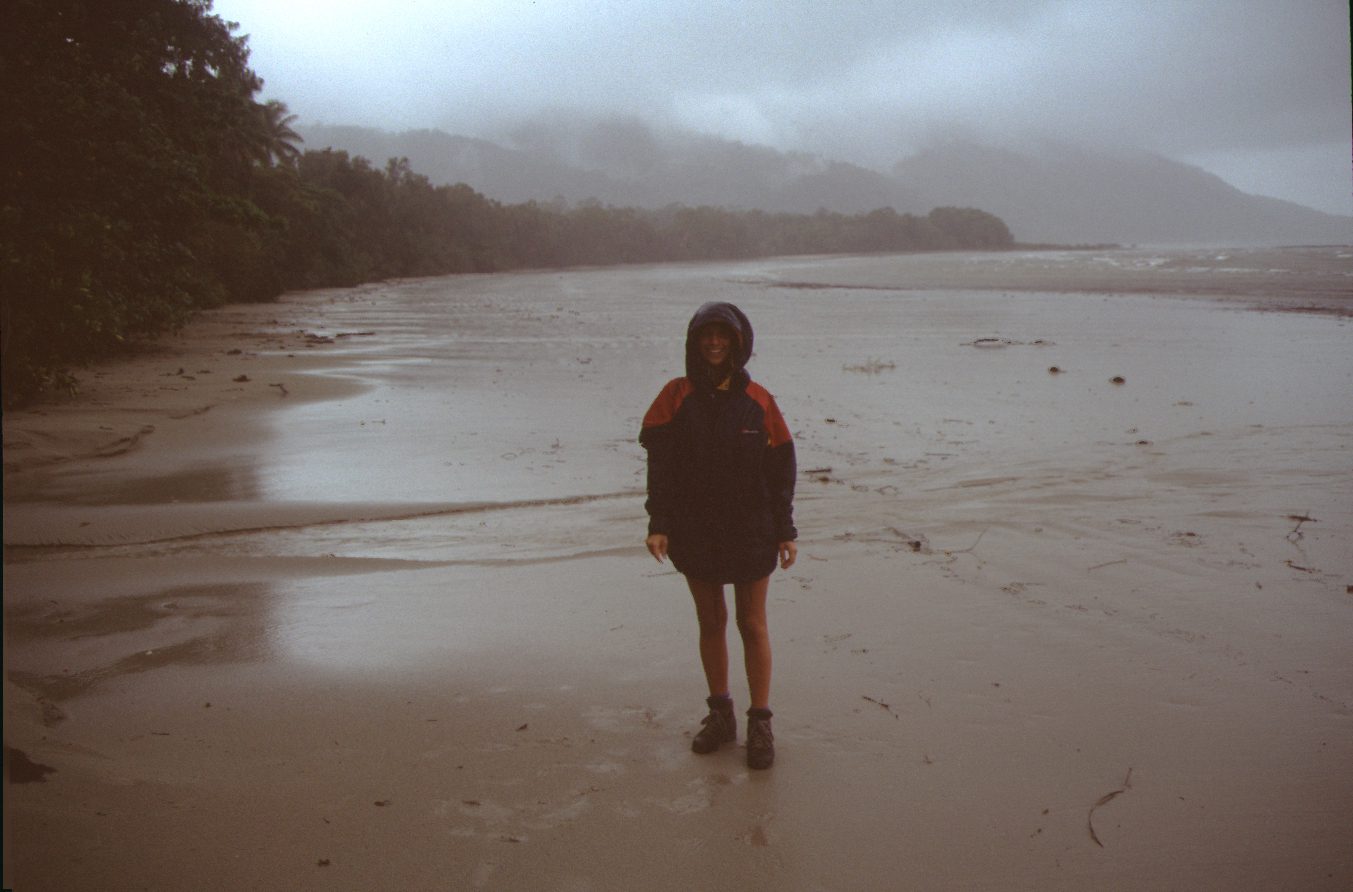
Australia: Cairns – Cape Tribulation 1995
Cairns, considered the gateway to Australia's Great Barrier Reef, is a city in tropical Far North Queensland. Its Tjapukai Aboriginal Cultural Park tells the stories of indigenous Aboriginal and Torres Strait Islander people with music and dance. Cairns Esplanade, lined with bars and restaurants, has a swimming lagoon. Northwest of the city, Daintree National Park spans mountainous rainforest, gorges and beaches. Cape Tribulation is a remote headland and ecotourism destination in northeast Queensland, Australia. A coastal area within Daintree National Park, it offers a combination of rainforest and beaches. Boat tours are available to the Great Barrier Reef, lying to the east. Walking routes include boardwalks and a ridge trail on Mount Sorrow. Bird-watching and jungle zip-lining are popular activities.